Merge lake bathymetry raster with a DEM raster
Usage
merge_bathy_dem(
  shoreline,
  bathy_raster,
  dem_raster,
  transform_shoreline = TRUE,
  catchment = NULL,
  crop_dem_to_catchment = TRUE,
  blend_buffer = 10
)
Arguments
- shoreline
sf object of lake shoreline.
- bathy_raster
SpatRaster object with the bathymetry data.
- dem_raster
SpatRaster object with the DEM data.
- transform_shoreline
logical. If TRUE, the shoreline will be transformed to match the CRS of the DEM raster.
- catchment
sf object of the catchment boundary. If provided, the DEM raster will be cropped to the catchment boundary.
- crop_dem_to_catchment
logical. If TRUE, the DEM raster will be cropped to the catchment boundary. Requires catchment to be provided.
Examples
shoreline <- readRDS(system.file("extdata/rotoma_shoreline.rds",
package = "bathytools"))
catchment <- readRDS(system.file("extdata/rotoma_catchment.rds",
package = "bathytools"))
depth_points <- readRDS(system.file("extdata/depth_points.rds",
package = "bathytools"))
bathy_raster <- rasterise_bathy(shoreline = shoreline,
depth_points = depth_points, crs = 2193)
#> No islands found.
#> ℹ Generating depth points for interpolation
#> ✔ Generating depth points for interpolation [190ms]
#>
#> ℹ Interpolating depth points to raster
#> ℹ Adjusting depths >= 0 to -0.82m
#> ℹ Interpolating depth points to raster
 #> ✔ Interpolating depth points to raster [12.4s]
#>
dem_raster <- terra::rast(system.file("extdata/dem_32m.tif",
package = "bathytools"))
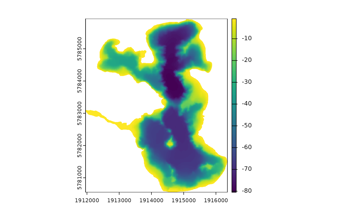
dem_bath <- merge_bathy_dem(shoreline = shoreline, bathy_raster = bathy_raster,
dem_raster = dem_raster, catchment = catchment)
#> Resolutions differ. Resampling bathy_raster to DEM resolution.
#> Lake surface elevation from DEM: 313.3 m
#> ✔ Interpolating depth points to raster [12.4s]
#>
dem_raster <- terra::rast(system.file("extdata/dem_32m.tif",
package = "bathytools"))
dem_bath <- merge_bathy_dem(shoreline = shoreline, bathy_raster = bathy_raster,
dem_raster = dem_raster, catchment = catchment)
#> Resolutions differ. Resampling bathy_raster to DEM resolution.
#> Lake surface elevation from DEM: 313.3 m